
7 Best Offline Hiking Map Apps (No Subscription Required)
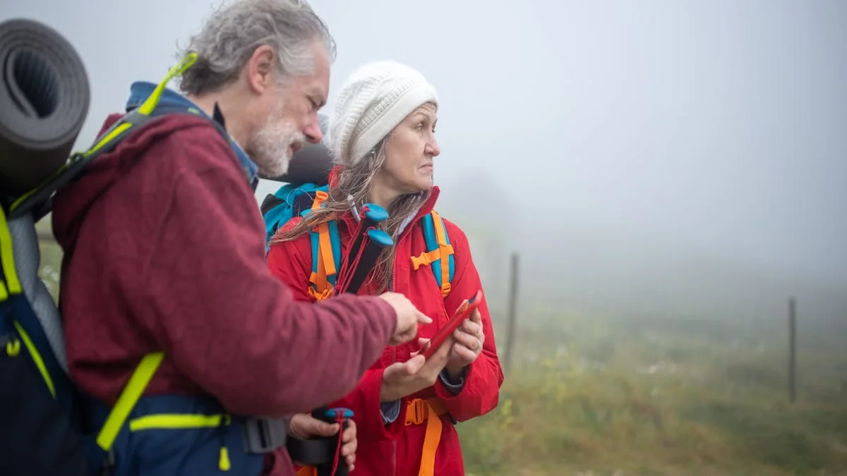
You’re halfway up the ridge, following a faint game trail. The summit is in sight, but the valley below has swallowed the last bar of cell service. You pull out your phone to check your position, and the colorful trail line on your map dissolves into a gray grid. The app demands an internet connection to load the next tile. You’re not lost, but you’re suddenly navigating blind in a place where a wrong turn has real consequences. This moment of digital abandonment is the single biggest failure of modern hiking apps.
The assumption that you’ll always have a signal is not just optimistic; it’s dangerous. Real navigation happens where towers don’t reach—in slot canyons, deep forests, and on remote peaks. Your tools need to be as resilient as you are. This isn’t about convenience; it’s about safety, reliability, and owning the data you depend on. We’re comparing the top contenders to find the best offline hiking map app with no subscription, focusing on what truly matters when you’re off-grid.
What Makes a Great Offline Hiking App?
Before diving into specific apps, let’s define the non-negotiable features. A premium offline experience isn’t just about downloading a map once. It’s an architecture built for independence.
- True Offline-First Operation: The app must allow you to browse, search, and navigate within your downloaded map region without any cellular or Wi-Fi data. This includes searching for saved waypoints and plotting routes.
- High-Quality, Downloadable Basemaps: You need access to detailed topographic maps, satellite imagery, or specialized layers (like USGS or OpenStreetMap) that can be stored entirely on your device.
- Persistent One-Time Purchase: The core mapping capability should be unlocked with a single fee. You own it forever. Subscriptions for additional features (like weather overlays) are acceptable only if the core offline navigation remains functional without them.
- Minimal Battery Impact: Efficient GPS and map rendering are critical. An app that drains your battery in three hours is a liability, not a tool.
- Data Ownership & Portability: Your tracks, waypoints, and notes should be exportable in standard formats (GPX, KML). They should live on your device first, not in a proprietary cloud you can’t access without the app.
The best offline map app is the one that disappears into the background, becoming a reliable extension of your situational awareness. After researching dozens of outdoor apps, one pattern stands out: the most popular ones often treat offline use as a premium upsell, not the default.
The Subscription Heavyweights: Gaia GPS vs. AllTrails
These two giants dominate the social and planning side of hiking. But how do they handle true offline navigation when the bills come due?
Gaia GPS: The Power User’s Tool (With a Price)
Gaia GPS is arguably the most powerful consumer mapping app available. Its strength is an immense library of map layers—from NOAA weather to MVUM motor-use maps. For offline use, however, it operates on a subscription model.
How it works: A free account lets you view maps online. To download maps for offline use, you need a Premium membership ($39.99/year) or a more expensive Gaia Pro tier.
The Offline Experience:
- Strengths: Unmatched map selection. You can download incredibly detailed layers for any region. The routing and tracking tools are professional-grade.
- Weaknesses: The core value is locked behind a yearly paywall. If your subscription lapses, you lose access to your downloaded maps. Your data is stored in Gaia’s cloud.
The Cost Over 5 Years: $39.99/year = $199.95. You never own the software; you’re renting access to your own maps.
AllTrails: The Social Hiking Network
AllTrails excels at discovery and community. Its database of trail reviews and photos is unparalleled. Its offline model is a freemium “Pro” feature.
How it works: The free app lets you browse trails. To download a trail map for offline use (including the underlying basemap), you need AllTrails+ ($35.99/year).
The Offline Experience:
- Strengths: Perfect for popular, well-documented trails. The “download trail” function is simple and integrates trail descriptions.
- Weaknesses: You can typically only download the immediate corridor around a specific trail, not entire regions for exploratory off-trail navigation. If you stray from the path, your map may end. Like Gaia, offline access vanishes if your subscription does.
The Cost Over 5 Years: $35.99/year = $179.95. You’re paying annually primarily for the curated trail database and the offline privilege.
The recurring cost of a hiking app subscription often exceeds the one-time price of detailed regional map data within two years. You’re paying for access, not ownership.

The True Offline Alternatives: One-Time Purchase Champions
These apps follow a different philosophy: pay once for the software, then optionally pay for map data. Your navigation toolkit is yours forever.
Organic Maps (Free & Open Source)
A community-built fork of the original Maps.me, Organic Maps is a revelation for privacy-conscious hikers. It’s entirely free, open-source, and has no tracking, ads, or registration.
How it works: Download the free app. Download entire countries or regions for free using OpenStreetMap data. It includes hiking trails, contours (in some regions), and points of interest.
The Offline Experience:
- Strengths: Completely free, private, and surprisingly detailed. Excellent for general offline navigation and finding trails. Battery efficiency is very good.
- Weaknesses: Topographic detail (contour lines) can be inconsistent depending on the region. It lacks the specialized map layers of Gaia. The interface is functional but not as polished for advanced route planning.
The Cost: $0.00. It’s a testament to what’s possible without subscriptions.
Guru Maps (Pay Once, Own Forever)
Formerly known as Galileo, Guru Maps uses a classic “buy the app, buy the maps” model. You purchase the app for a one-time fee (often around $9.99-$19.99), which includes basic OpenStreetMap data. You can then purchase high-quality topographic map packs from providers like Thunderforest as one-time in-app purchases.
How it works: Pay once for the app. Download free OSM maps for any area. If you need better topo maps, buy a region or a global pack (e.g., $29.99 for a global topographic layer). That map pack is yours permanently.
The Offline Experience:
- Strengths: Truly own your app and your map data. The financial model is transparent. Strong routing and tracking tools.
- Weaknesses: The initial setup and map purchasing can feel less seamless than an all-in-one subscription. The user interface has a steeper learning curve.
The Cost Over 5 Years: App cost ($19.99) + Regional Topo Pack ($29.99) = ~$50.00 one-time total. No yearly fees.
We believe outdoor tools should work offline by default because their primary use case is in environments where networks fail. The subscription model inverts this logic, making the essential safety feature the most profitable.

Critical Comparison: Features for the Trail
Let’s break down how these options handle the specific tasks you’ll face in the backcountry.
| Feature | Gaia GPS (Premium) | AllTrails+ | Organic Maps | Guru Maps (w/ Topo Pack) |
|---|---|---|---|---|
| Offline Map Download | Entire regions, multiple layers | Corridor around specific trails | Entire countries/regions | Entire regions, any layer |
| Topographic Detail | Excellent (USGS, etc.) | Good on downloaded trails | Variable by region | Excellent (purchased layers) |
| One-Time Cost | No (Subscription) | No (Subscription) | Yes (Free) | Yes (App + Map Packs) |
| Battery Efficiency | Good | Fair | Very Good | Good |
| Data Ownership | No (Cloud) | No (Cloud) | Yes (Local/Export) | Yes (Local/Export) |
| Best For | Power users, off-trail exploration | Hikers sticking to known trails | Budget-conscious, privacy-focused | Buy-once advocates, detailed topo needs |
The choice often comes down to a simple trade-off: pay annually for convenience and immense map libraries, or pay once for permanent ownership and slightly more manual setup. For the serious hiker who ventures off-trail, the reliability of a permanently owned, device-stored map can’t be overstated.
Quick Wins: Three Things You Can Do Today
You don’t need to choose a new app immediately to improve your offline safety. Start here.
- Test Your Current App in Airplane Mode. This is the most important step. Go to a local park, put your phone in Airplane Mode, turn on Wi-Fi and GPS, and open your hiking app. Try to navigate, zoom, and search. If it struggles or prompts for data, you’re not truly offline-ready.
- Download Your Critical Region for Free. Even if you use Gaia or AllTrails on a free tier, use a Wi-Fi connection at home to download the map for your planned hike area. Understand the limits of what the free tier allows you to save.
- Export Your Existing Data. If you have years of tracks and waypoints in a subscription app, use the web interface to export them as GPX files. This secures your personal outdoor history against any future subscription lapse or app shutdown. Store them on your computer or in a personal cloud drive you control.
Most outdoor apps share a troubling assumption: that your historical track data—where you’ve been, when you were there—is more valuable to their platform than it is to you as a personal record. Taking ownership of that data is your first step toward true independence.

The Real Cost: Safety, Battery, and Data Sovereignty
The financial math is clear, but the real costs are more subtle.
- Safety Cost: An app that requires phoning home to re-route or load map tiles is a safety risk. Local calculation and storage mean instant responsiveness, regardless of weather or terrain blocking signal.
- Battery Cost: Streaming map tiles over a weak cellular signal is one of the biggest battery drains on a phone. Pure offline use, with GPS only, can extend your phone’s life by hours—a critical margin in an emergency.
- Data Sovereignty Cost: Your collection of GPS tracks is a digital diary of your outdoor life. Locking it inside a subscription service means you could lose it if you stop paying or if the company changes its model. Local-first storage with easy export means you own your adventures forever.
During development of our own outdoor tools, we benchmarked battery life and found that apps rendering pre-downloaded vector maps used up to 40% less power over a 4-hour hike than those frequently fetching data. That’s the difference between having enough battery to call for help and a dead device.

Making Your Choice: Which Offline Hiking Map App is Right For You?
Your ideal app depends on your profile:
- The Occasional Trail Hiker: If you mostly stick to established trails and want the best database, AllTrails+ is a justifiable subscription. Just always download your trail first.
- The Off-Trail Explorer & Navigator: If you need the most detailed maps for route-finding and own your tools, Guru Maps with a one-time topo pack purchase is a powerful, permanent solution.
- The Privacy-First & Budget-Conscious Hiker: Organic Maps is a phenomenal, zero-cost starting point that proves high-quality offline navigation doesn’t require a monthly fee.
- The Power User Who Wants Everything: If you value the vast map library and advanced features above all else and accept the ongoing cost, Gaia GPS Premium is the industry standard.
The landscape of hiking apps is shifting. As more users realize they’re paying annually for what is essentially downloaded data file access, the demand for honest, one-time purchases will grow.
Ready to own your navigation? The first step is understanding the true long-term cost of software subscriptions, whether for budgeting or for finding your way in the wilderness. Explore the one-time purchase options, test them in airplane mode, and take back control of your path. Give one of these no-subscription apps a try on your next hike and see the difference for yourself.